

Supervision and Quality Control
The main function of the software complex "Seismic field control" is to control the quality and quick processing of seismic data during the field seismic operations 2D, 3D. The purpose of the software is to give the user a complete set of tools to solve tasks that are integrated into a single system.
Applying the vast experience of our specialists in the field of processing seismic data, the package includes the features that are required during analysis and data processing. It makes it easier to use the product.
Basic principles:
- Simple and user-friendly
- Efficient for large volumes of data
- The possibility of pre-processing in the field, to facilitate the first stages of the office analysis
- Wide range of tools to solve tasks
- Flexible system of organization of internal logic to integrate new features without drastic intervention
- System requirements, permitting to use not really powerful laptops
- Interactive response system in Russian.
Implementation area
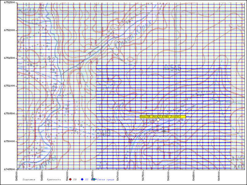
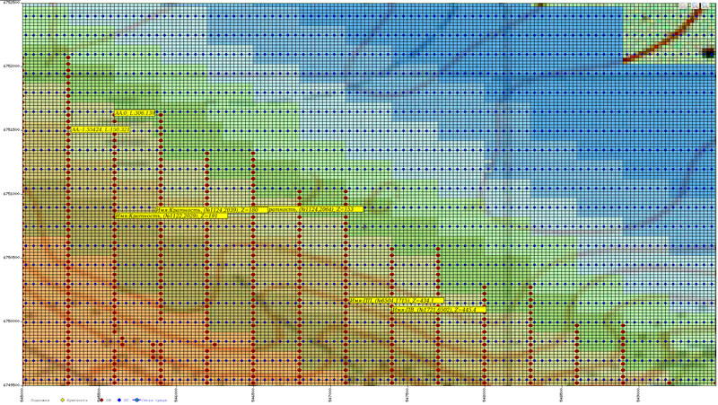
- Service quality control for seismic survey operations
- Processing seismic data in field seismic parties
- Office processing of seismic data
- Schedule service of seismic surveys
The software "Seismic field control" allows solving the following tasks:
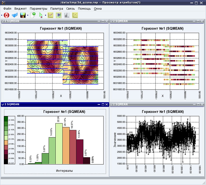
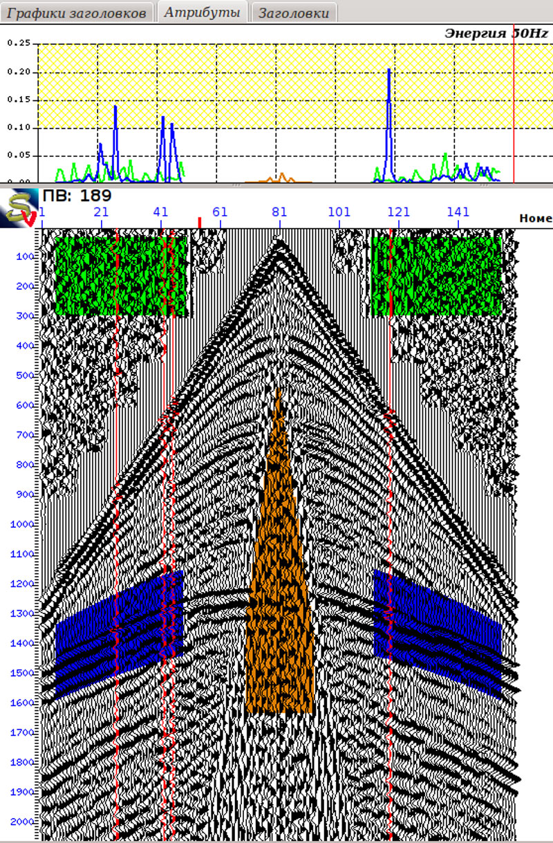
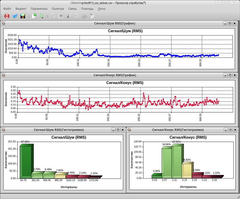
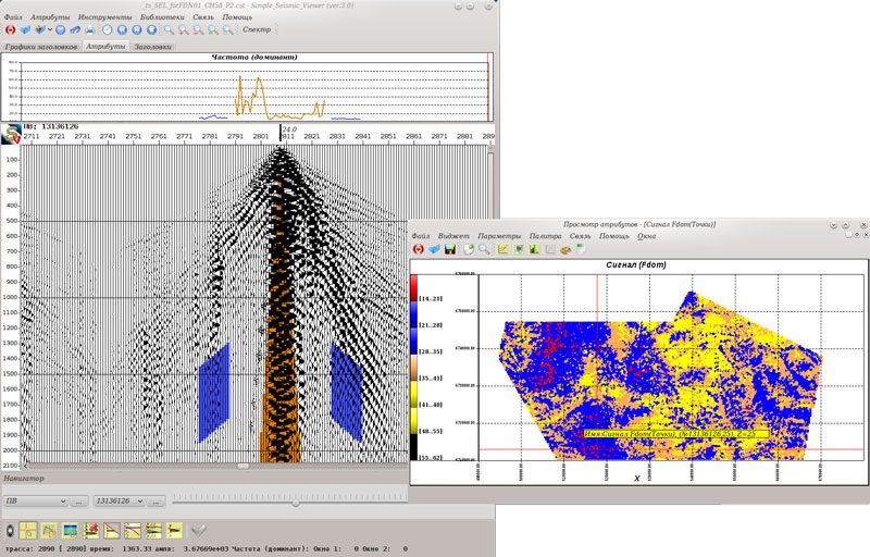
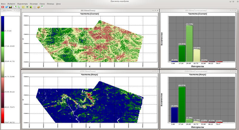
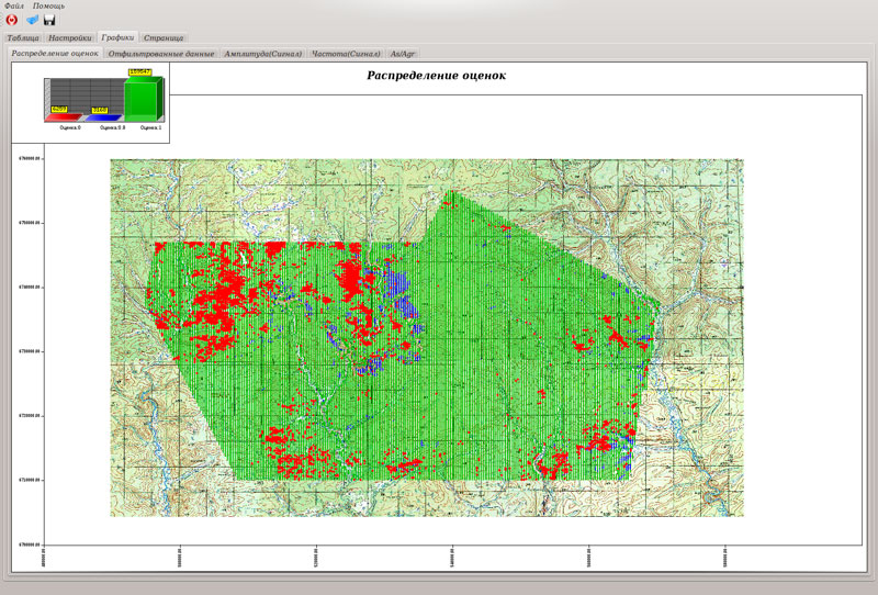
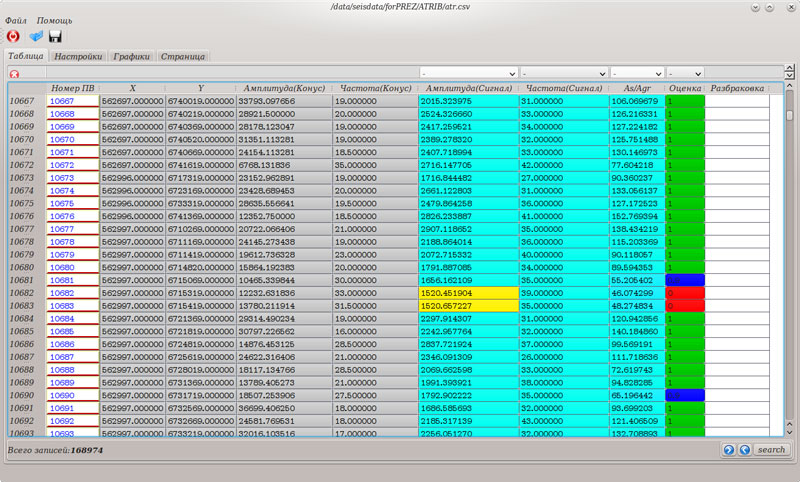
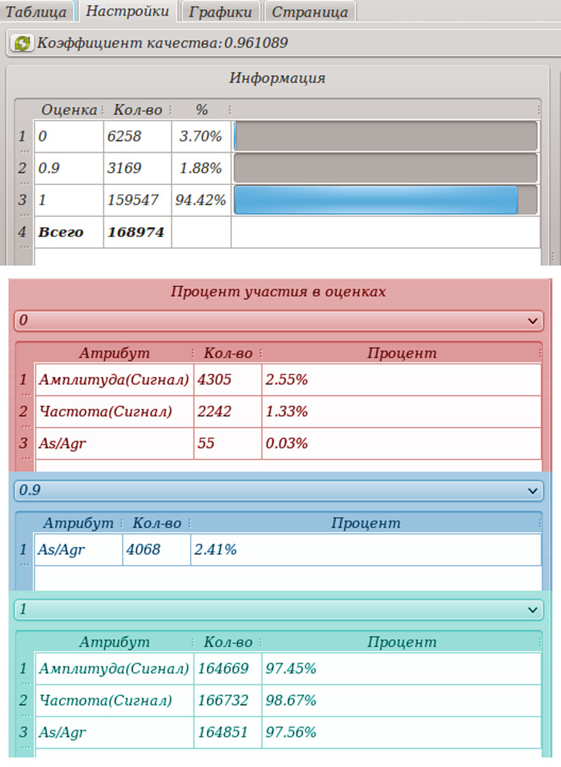
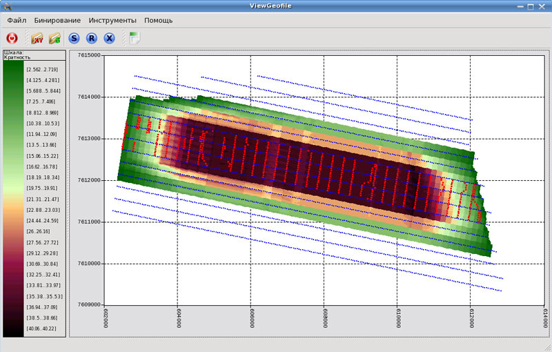
Evaluation of seismic data quality due to calculated seismic attributes of the seismic record.
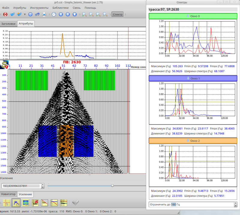
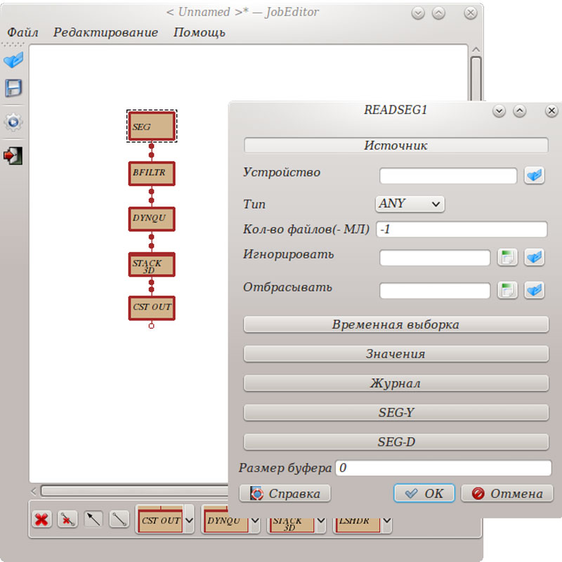
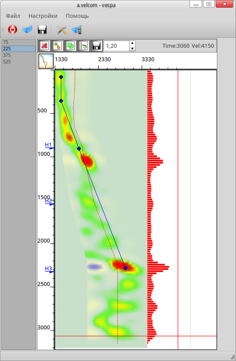
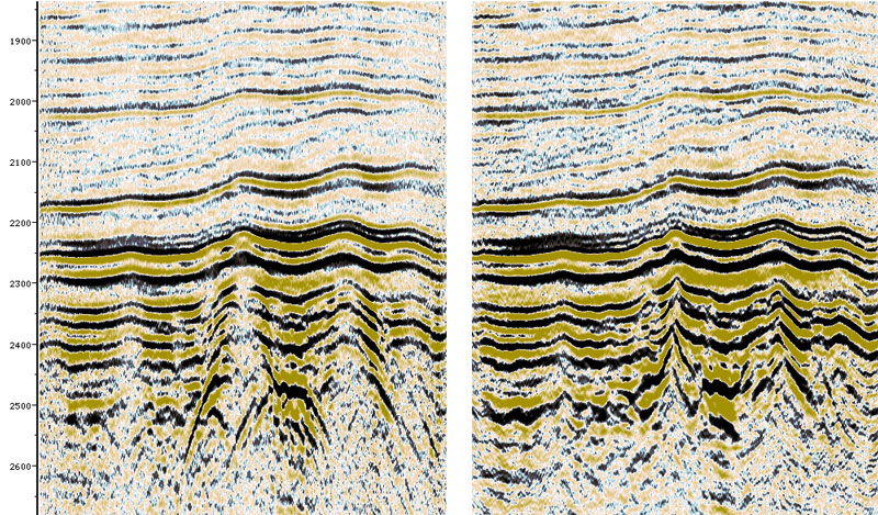
Preliminary processing of seismic data
A PC “Seismic field control” includes more than 40 modules for processing seismic data, enabling the processing steps from input data to obtain a migrated hexahedron directly in the field.
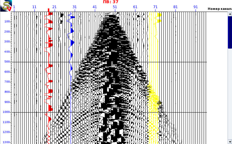
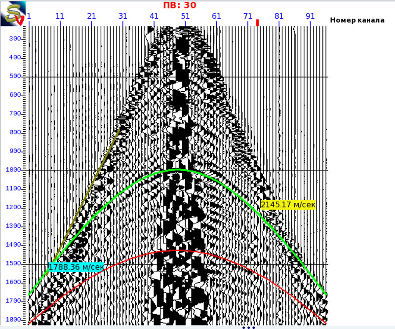
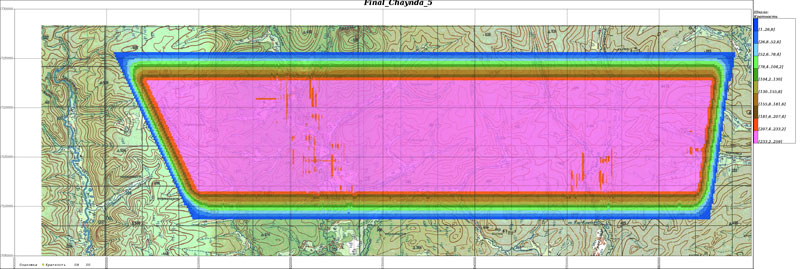
Seismic survey control

Minimum system requirements
- Operating system: Linux x86_64, x86 (the core from 2.6.32)
- Processor: Intel Pentium IV (or equivalent AMD)
- Corememory: 1024 MB
- Hard disk space (System): 20 GB
Technical support
We take the technical support of our customers very serious. Competent experts in the field of Geophysics, and system administration can quickly solve all the issues. The structure of the software “Seismic field control” allows us to add new functions on the client request instantaneously, without reinstalling the product or downloading large amount of data at the update.